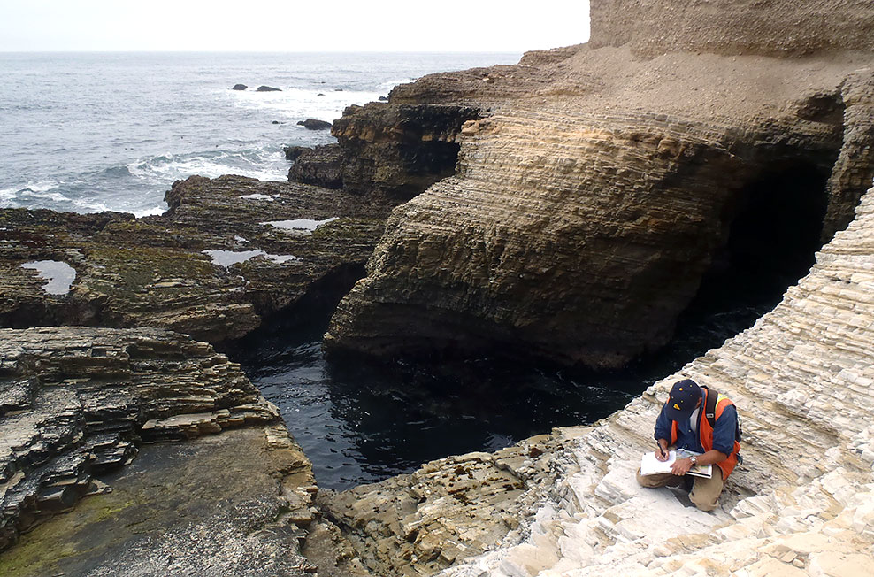
 LCI staff have broad-ranging expertise in engineering geology and geotechnical services to support the development of critical infrastructure throughout the world. Our focus on detailed engineering geology and data integration, often with stringent regulatory environments, is the strength of our applied geotechnical practice. LCI staff use a spectrum of data collection techniques, from the most advanced to simple data compilation, to collaborate with designers to develop creative engineering solutions.
LCI staff experience and expertise in engineering geology includes:
- Detailed Geologic Mapping
- State-of-the-Art Subsurface Exploration
- Liquefaction Hazard Evaluation and Mapping
- Landslide Investigation and Stabilization
- Foundation Characterization and Stability
- Soil and Rock Characterization
- Seismic Retrofit Studies (Bridges, Dams, Pipelines)
- Marine Geohazards
- Interpretation of Geophysical Data including Seismic Reflection and Refraction, Magnetic, Gravity, Electrical and Resistivity Logs
- Dam Siting and Deconstruction Services
- Levee and Embankment Stability Analyses
- Licensing and Regulatory Compliance
We have worked with all types of clients from large utilities and power companies, to individual investors, state agencies, water districts, federal agencies, and local municipalities. A short list of our clients, includes: Pacific Gas & Electric, State of California Department of Water Resources, SoCal Gas, Bechtel Corporation, URS Corporation, CalTrans, Santa Clara Valley Water District, East Bay Municipal Utility District (EBMUD), Lawrence Berkeley National Laboratory (LBNL), and U.S. Geological Survey.
Below is a list of engineering geology projects completed by LCI staff:
- Oroville Spillway Emergency Repair
- Caldecott Tunnel 4th Bore
- LBNL Geotechnical Investigations for multiple facilities
- Watson Reservoir EBMUD
- Doyle Drive Landslide Investigation
- VC Summer Nuclear Power Plant Unit 3 Foundation Excavation Mapping
