
LCI is a leader in seismic hazard analysis for critical or other high-consequence facilities (e.g. nuclear power plants, dams, or conventional structures) recognized throughout the United States and internationally. Our professionals deliver state-of-the-art methods, technical expertise and quality to meet our client’s objectives

LCI professionals have extensive experience conducting geologic hazard analyses for all types of facilities. LCI staff specialize in data integration commonly using geologic, geomorphic, seismic, paleoseismic, and geospatial data to develop state-of-the-art geologic hazard characterizations for projects large and small.
LCI staff have a broad range of expertise in engineering geology and geotechnical services to support the development of critical infrastructure throughout the world. Our focus on detailed engineering geology and data integration is the strength of our applied geotechnical practice
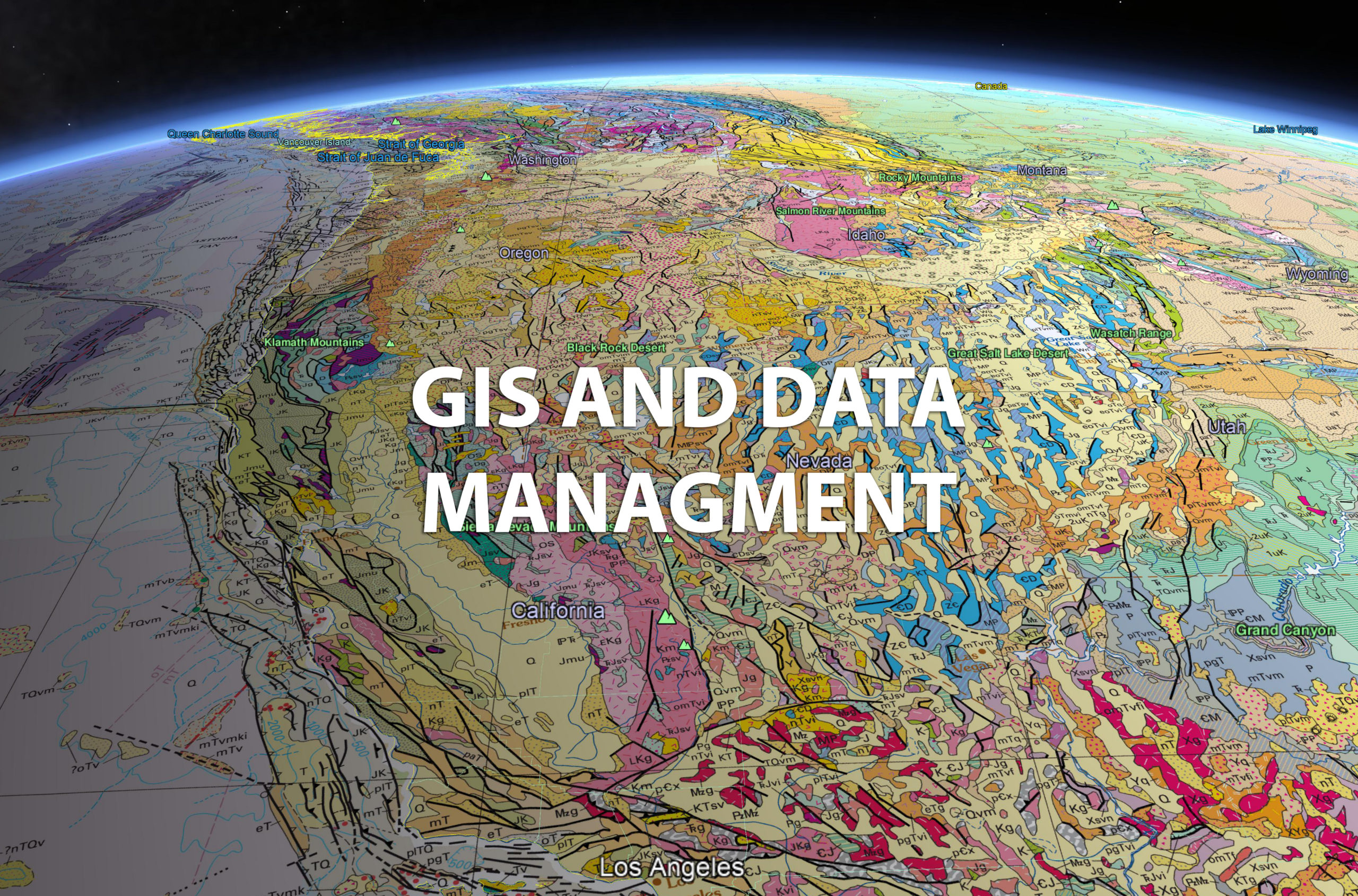
LCI professionals are experts in Geographic Information Systems (GIS), Information Management (IM) and Information Technologies (IT) projects. LCI specializes in a wide range of GIS practices including 4D GIS mapping, scientific visualizations, remote sensing, drone imagery, LiDAR, multibeam, and radar data analysis.